The Atlantic Jet Stream Explained: Why British Weather Changes So Quickly
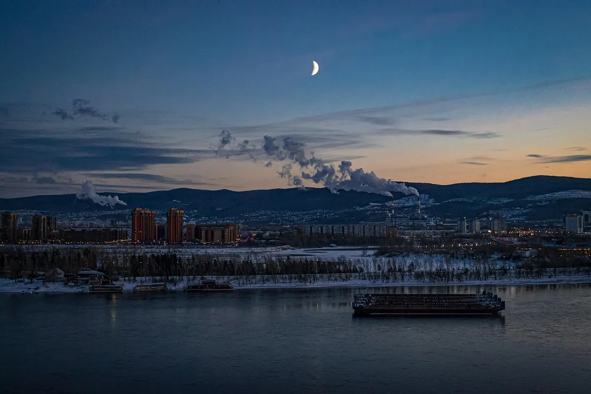
British weather has a reputation, and it earns it. A morning that starts grey and drizzling can turn bright by lunchtime and be blowing a gale by teatime — often inside the same twenty-four hours a forecast confidently described as "cloudy with light rain". Much of that restlessness comes from several miles overhead, in a narrow ribbon of fast-moving air known as the Atlantic jet stream.
What the jet stream actually is
The jet stream is a band of strong winds in the upper troposphere, roughly five to seven miles up (about eight to eleven kilometres). It exists because cold polar air and warm tropical air sit side by side. The bigger the temperature difference between them, the steeper the pressure contrast, and the harder the wind blows in between.
Earth's rotation then bends that flow until it runs broadly west to east, which is why our weather almost always arrives from the Atlantic rather than the other direction. The jet is not a single tidy pipe. It meanders, splits into faster cores called jet streaks, and wanders north and south with the seasons. Because it sits above the weather systems forming at the surface, it works like a set of rails — and wherever the rails go, the depressions follow.
Why the Atlantic jet matters more to us than any other
Britain sits at the eastern end of a large ocean, directly downstream of the jet stream's favourite highway. Depressions that spin up off Newfoundland or over the mid-Atlantic are carried towards us by that flow, arriving a day or two later with their fronts, rain bands and gusty winds attached.
We are also close to the part of the jet where the flow tends to accelerate and decelerate. In those zones, air is drawn away from the column above the surface, pressure at ground level falls, and low pressure systems deepen. A small shift in the jet's position can be the difference between a calm, bright day in Inverness and a wet, windy one in Plymouth — or the other way round.
How the jet stream steers a low towards Britain
The chain of events is easier to follow than it sounds. In broad strokes:
- Temperature contrast builds aloft. Cold polar air and mild subtropical air meet over the North Atlantic, creating a strong west-to-east flow high above.
- Faster patches form within it. These jet streaks remove air from the column above the surface, lowering pressure down below.
- A depression forms on the boundary between warm and cold air — often near Newfoundland, sometimes much closer to home.
- The flow carries it eastwards, much as a current carries a leaf down a stream, with the low's own winds and fronts developing as it travels.
- The shape of the jet decides its track. A low steered north of Scotland brings mild, wet and windy weather; one that dips south through the Bay of Biscay can drag cold northerly air across the whole country.
Straight or wavy? Two very different weeks
Meteorologists talk about a zonal pattern, where the jet runs almost straight west to east, and a meridional one, where it buckles into big north-south loops.
When the jet is straight and strong, weather systems queue up and cross the Atlantic in quick succession. You get mild, wet, windy spells, rain arriving roughly a day apart, and the sort of week where the rain radar is more use than the forecast icon. This is also when named storms tend to reach us.
When the jet buckles, everything slows. A poleward loop — a ridge — pushes high pressure towards us and brings settled, often dry weather. An equatorward dip — a trough — does the opposite. If the loops become pronounced enough to stall, you get blocking: a stubborn high sitting over Scandinavia or Greenland that can hold the same weather over the UK for a week or more, whether that means freezing easterlies, persistent fog or a long run of fine, chilly days.
Why forecasts wobble so much here
Part of it is geography. The UK is a small set of islands at the meeting point of several air masses — tropical maritime from the south-west, polar maritime from the north-west, Arctic air from the north and continental air from the east. Which one wins on any given day depends largely on where the jet stream happens to be sitting.
Part of it is mathematics. The atmosphere is chaotic, and small errors in the starting picture grow quickly. Models are now good at the broad pattern several days ahead, but the exact track of an individual low — and therefore whether your town gets a light shower or a soaking — can genuinely change from run to run beyond about five days. That is not laziness on the part of forecasters; it is the nature of the system.
The jet also migrates through the year. It generally sits further south in winter, which is why our stormiest, wettest spells cluster between October and March. In summer it tends to shift north, allowing high pressure to build — but when it stays south of us instead, we get the cool, showery summers that catch out visitors who packed only for sunshine.
How to use the jet stream in your own week
You do not need a meteorology degree to get something out of this. Jet stream and pressure charts are freely available, and a couple of habits will sharpen your sense of what is coming.
- Look at the shape first. A straight, fast ribbon means unsettled weather moving through quickly. Fat loops mean the pattern is stuck, and tomorrow will look much like today.
- Work out which side of it you are on. North of the jet usually means colder air and showers; south of it usually means milder, wetter, windier conditions.
- Check the wind before the rain. Gusts are often what disrupt travel and outdoor plans, so give the wind arrows as much attention as the rain symbols.
- Dress in layers and keep a waterproof handy, even on a promising morning. A front can cross the country in a few hours.
- Plan flexible days. If you have a walk, a match or a barbecue booked, aim for the morning where you can and keep an indoor alternative for the afternoon.
- Treat a ten-day icon with suspicion. Beyond about a week, a forecast tells you about the general pattern, not your specific postcode.
None of this changes the fact that British weather will keep doing what it does. But once you know there is a fast-moving river of air deciding which way the next low travels, the sudden shifts stop feeling quite so random — and the forecast becomes something you can read rather than simply react to.
Photo: rrs270765new / Pixabay