Autumn Storm Season Ahead: What the UK Can Expect and When
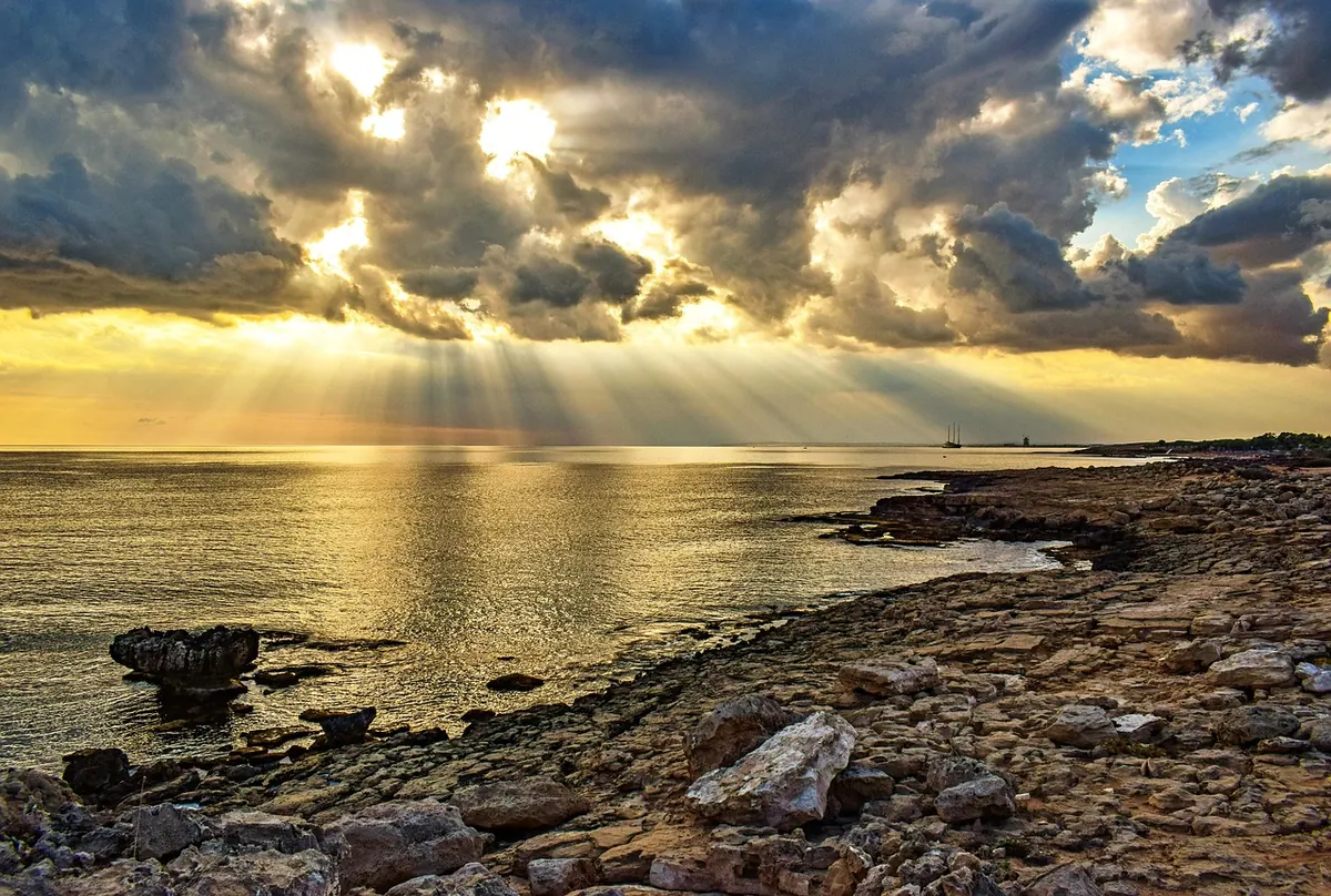
The first named storm of the season often arrives before the clocks go back. By then the jet stream has begun to shift south, sea temperatures around our coasts are close to their annual peak, and the Atlantic has a long, unbroken run at our western shores. None of that guarantees a battering. It does mean the ingredients are assembling — and the households that cope best are usually the ones that sorted the small things in September rather than in the middle of an amber warning.
When the season starts, and when it bites
The Met Office runs its storm-naming season from early September to late August the following year, working alongside Met Éireann in Ireland and KNMI in the Netherlands. Storms can, in theory, be named at any point in that window, but the pattern is well established: named windstorms cluster from October through to March, with the deepest and most disruptive systems most often landing between November and January.
Early-season storms have a different character from midwinter ones. In September and early October, the UK sometimes catches the remnants of Atlantic tropical systems that have lost their tropical status but kept their moisture. Those tend to bring intense rainfall and localised flooding rather than the roaring, coast-wide winds of a December low. By late autumn, the picture shifts: bigger temperature contrasts between the tropics and the Arctic feed a stronger jet stream, low-pressure systems deepen more aggressively, and the wind becomes the main story.
How a storm gets its name
Names come from a list published before the season begins, running alphabetically and alternating between male and female names. The letters Q, U, X, Y and Z are skipped, which is why you will never hear a forecast mentioning Storm Quentin.
A system is named when it is expected to cause medium or high impacts — in practice, when amber or red warnings are likely somewhere in the UK or Ireland. That is worth remembering when a storm feels underwhelming where you live:
A named storm is a warning about impact, not about size. It only takes one badly placed tree or one blocked culvert to turn a windy night into a costly one.
Which parts of the UK are most exposed
Wind and waves: the west first
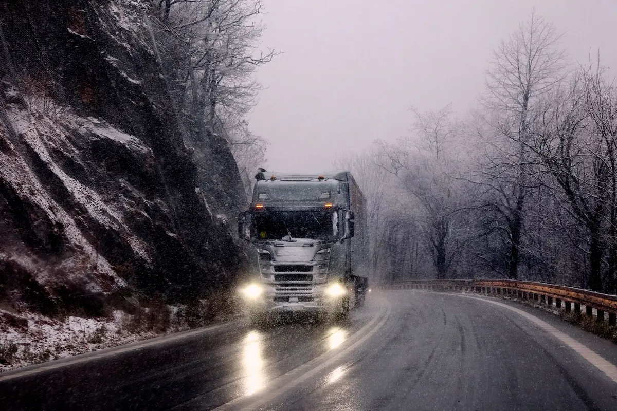
Cornwall, Devon, west Wales, Cumbria, western Scotland, the Hebrides and Northern Ireland take the brunt of most autumn and winter lows. Orkney and Shetland sit in the firing line too, often with a day or two of notice. Expect the usual weak points: exposed bridges, high-sided vehicles on coastal routes, ferries and flights, and any tree that has been quietly loosening its grip in wet ground.
Rain, rivers and inland flooding
Wind gets the headlines, but water does most of the damage. Through September, dry-ish ground can still absorb a lot. By November, catchments across the Severn, Wye, Ouse, Thames, Clyde and Tay are often saturated, so a single wet front can tip a river over its banks or send surface water racing down streets far from any coast.
The east and north are not immune
Easterly and northerly winds can push North Sea water against east coast defences, particularly around high spring tides, and bring snow to northern hills and, occasionally, to lower ground well before Christmas. East coast surge events are less frequent than western gales, but they can be serious when they line up.
A rough month-by-month guide
- September: warm seas, heavy rain, occasional ex-tropical systems. Flooding is usually the bigger risk than wind.
- October: the transition month. First proper autumn gales, falling leaves blocking gullies, and coastal surges around spring tides.
- November: often the wettest stretch. Saturated ground means rain turns into river and surface-water flooding quickly.
- December and January: usually the stormiest period, with deeper lows, longer spells of wind and the greatest coastal surge risk.
- February to March: still in season. Cold northerlies can bring snow, and named storms can arrive well into spring.
Before the first warning: your autumn checklist
Most of this takes an afternoon, and it is far easier to do now than in the dark with the power off.
- Check your flood risk. The Environment Agency covers England, Natural Resources Wales, SEPA in Scotland and DAERA in Northern Ireland. Sign up for free flood warnings by phone, text or email, even if you have never flooded.
- Clear the water's path. Gutters, downpipes, gullies and drains. Check that garden drainage and any soakaways are not blocked by leaves.
- Secure the garden. Bins, trampolines, planters, garden furniture, bike covers — anything light enough to travel. Check fence posts and gates while the ground is soft enough to work.
- Look up at the trees. Anything dead, cracked or overhanging the house is worth a professional's eye. Do not take a chainsaw to a big limb yourself.
- Build a power-cut kit. Torches and spare batteries, a battery radio, charged power banks, a first-aid kit, and a few days of any prescription medicines. Candles are best avoided in a blackout.
- Learn your shut-offs. Show everyone in the house where the stopcock, gas valve and consumer unit are, and how to turn them off.
- Sort the paperwork. Photograph valuables and keep your policy details somewhere you can reach without a phone signal. If your home has flooded before, talk to your insurer before the season starts — schemes exist to help with flood cover in high-risk areas, and your insurer or a regulated adviser is the right place for anything to do with policies or claims.
- Note your neighbours. Particularly anyone elderly, living alone or dependent on powered medical equipment.
When a storm is named
The 24 hours before landfall matter more than most people think. Move cars away from flood-prone parking and from under trees. Bring upstairs anything you would hate to lose, including documents. Charge everything, fill a few bottles with water in case supply is interrupted, and top up the freezer with ice if a power cut looks likely.
Then adjust your day. Rail operators cancel services in advance of high winds rather than during them, so check before you travel and be ready to postpone. Stay away from promenades, sea walls and harbour edges — wave-watching is how people drown in storms. And never drive or walk through flood water. It is often deeper and faster than it looks, the road surface may be gone, and shallow moving water can lift a car off its wheels.
Storm-ready in a fortnight
If you do nothing else, do this in two weeks. Week one: check your flood risk, sign up for warnings, clear the gutters and photograph your contents. Week two: build the power-cut kit, agree with your household who does what when a warning arrives, and knock on a neighbour's door.
After that, the season is simply a matter of watching. Warnings, forecasts and updates come from the Met Office, SEPA, Natural Resources Wales and the Environment Agency, plus local radio, which is often the most reliable source when the mobile network is struggling. Keep an eye on the forecast from late September onwards, and keep a torch by the bed. Autumn is coming either way — the point is to meet it ready.